There has been much in the news recently about floods in Britain. Mostly this has arisen because it just won't stop raining!
There are basically two aquifers in England - the chalk in the south east, and the sandstone that runs from the west up to the north-east, both very porous and usually sufficient to drain the water away after rain. These aquifers are now however up to 95% saturated. There is fast becoming nowhere for the water to go.
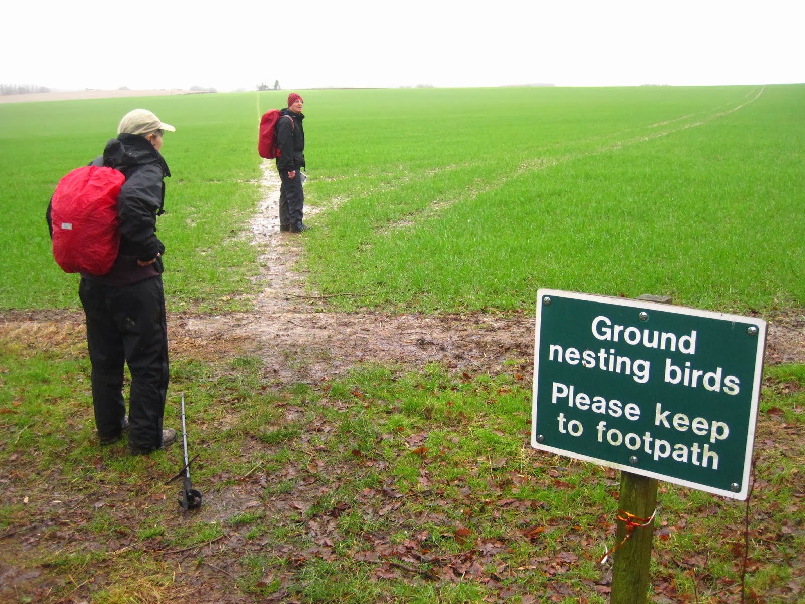
This is my village green yesterday:
And this is the view of the south as we came back over the South Downs later in the day.
But we haven't had it as bad as some others. The other reason the floods have been newsworthy is that the Somerset Levels have been flooded since Christmas. They are having a really tough time, with several villages completely cut off and turned into islands. This is one view of Somerset that appeared in the media.
And this was a pic that caught my eye of further up the coast, during one of the recent storms.
But more is yet to come. This is the current flood warning map.
Maybe the climate is changing a little bit?
But the solution is not so easy. There have always been water meadows in UK - where rivers are allowed to overflow each year and relieve the pressure on the towns downstream. We used to live in Pulborough where the Avon overflowed into meadows and rose up to our door steps regularly, but frankly without our having much concern. But I was quite shocked when a builder applied for planning permission to build houses in the water meadow behind our house. They were turned down, but I understand there were 66 other such applications last year that gained approval. Although they contract to build up the river defences to protect the new houses, do they have no idea where all that water is then going to go?
So the solution (pun intended) is complicated. Many of those living in Somerset have been vociferously complaining that dredging has not been sufficient in the rivers. But the Environmental Agency claim that dredging
has been undertaken. Then I was struck by The Wetlands Trust and RSPB opposition to dredging as destroying the natural environment in the area. There is also the problem that the water has to have somewhere to go. When vast swathes of the country go under water, dredging just makes the water deeper. There are currently pumps removing something like a million gallons a day from the area, but it is being pumped of course into the river. But it still keeps raining and, as I have said, the land just can't absorb any more water at the moment.
The problem is sadly going to be with us for a little bit longer. With more heavy rain predicted for the weekend, here is a map showing this year's rainfall so far.
The
white bits are where rainfall has been more or less normal; the blue
bits are where it has been higher than usual, up to the black areas
where it has been 225% of normal! I live in the middle of the black bit at the bottom. Despite the experts' scepticism, I think maybe we ought to just get on and dredge. It will at least cheer up the poor residents affected by the floods a little (not much, since I fear they will then complain that it is too little too late). And it will perhaps reduce the water level enough to let the houses dry out before the winter proper. But I fear Mother Nature has the last word. The only consolation I suppose is that stranded villagers haven't been forgotten and that, so far, the temperature has been quite mild. Frost and snow is still to come . . .
.JPG)

.JPG)
.JPG)
.JPG)
.JPG)
.JPG)
.JPG)
.JPG)
.JPG)
.JPG)
.JPG)
.JPG)


